DANNY WICENTOWSKI
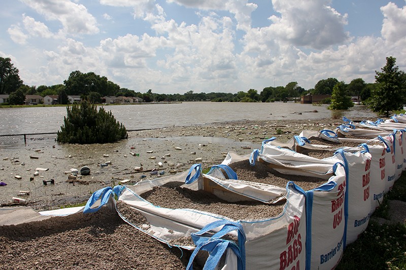
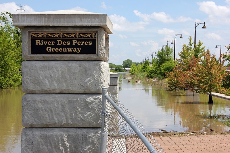
Lined with sandbags, the infamously filthy River Des Peres has spent weeks swallowing parts of south St. Louis, gobbling up fences and sidewalks and a stretch of River City Boulevard, which is now entirely river. The River Des Peres Greenway, which in drier times conveys cyclists to the Mississippi, is now an impassable swamp stretching into the distance. Instead of sidewalk, hikers must walk alongside the floodwall and rows of sandbags stacked to oppose the rising waters.
DANNY WICENTOWSKI

DANNY WICENTOWSKI
South St. Louis City resident Mike Byrne observes the flooded River Des Peres.
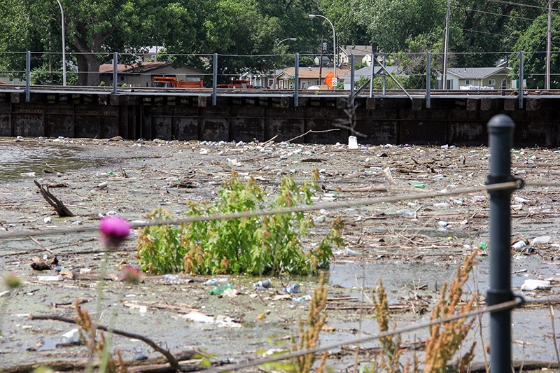
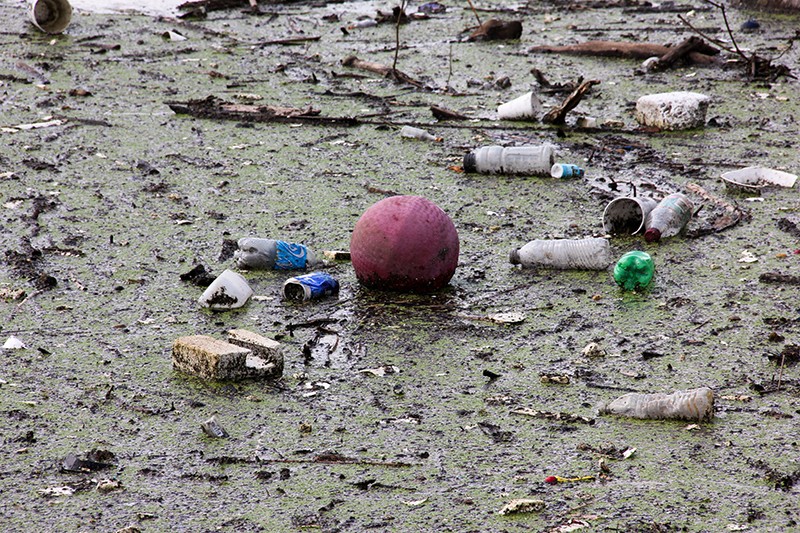
The 9.3 mile river runs from south county into the city, serving as a sanitary sewer and storm drain for more than 100 years. And in its surge, it's swept up trash along the way. Near the banks, the dully colored water spreads archipelagos of Styrofoam cups, plastic liquor bottles and long lost basketballs. Small birds hop between the detritus.
DANNY WICENTOWSKI
DANNY WICENTOWSKI
In a Monday Facebook post, the city's Department of Health found it necessary to remind "residents and volunteer cleanup groups" that the Des Peres floodwater is not safe for human contact, citing "hazardous waste" and the danger of "infections, skin rash, gastrointestinal illness, and tetanus."

DANNY WICENTOWSKI

DANNY WICENTOWSKI
Mike Byrne, who says he's lived in south city for 60 years, now resides in a house just a few blocks from the flood wall built at the Alabama Avenue bridge.
He gestures around the intersection. Cars drive through the water that bubbles out of a manhole cover. When the levee at the nearest pump station downriver broke in 1993, he says, "all this was water."
At the time, he was working at the nearby liquor store. Then came the epic flood of 1993, when the Mississippi crested at 49 feet, and the River Des Peres surged into surrounding neighborhoods, destroying rows of homes and putting eight feet of water into the liquor store.

DANNY WICENTOWSKI

DANNY WICENTOWSKI

DANNY WICENTOWSKI
Even after two decades, the '93 flood remains St. Louis' benchmark for weather disasters. Comparing that flood to this one, Byrn judges that the present deluge still doesn't match it.
But then he walks to the gravel top of the flood wall. Beyond it, water covers the entire surface of the Alabama Avenue bridge — it had been built in 1994 to replace a 65-year-old bridge that was completely submerged in the previous year's floodwaters. Byrn remarks that the new bridge had actually been designed to sit several feet higher than its flood-prone predecessor.
Now, the new and improved Alabama Avenue is once again under water.
Byrn takes some photos with his phone. "Well, you know what," he says, reconsidering his earlier judgement. "I would say we are at probably close to '93. All this water right here? I'm going to say yeah, we're close to it."
He adds, "If this don’t hold, we will be."

MIKE BYRNE/DANNY WICENTOWSKI
Left: A photo of the flooded Alabama Avenue Bridge that Mike Byrn took in 1993. Right: The Alabama Avenue Bridge on June 5.

DANNY WICENTOWSKI
The Des Peres has flooded for months. The photo on the left was taken April 2. The one on the right was taken June 5.
Follow Danny Wicentowski on Twitter at @D_Towski. E-mail the author at [email protected]